General Sherman Tree
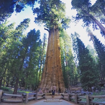
The main parking area and trailhead are near Wolverton Road, off the Generals Highway just north of the tree itself (between Lodgepole and the Sherman Tree). From there, the 1/2-mile (.72 km) trail descends and includes some stairs. Rest on the benches along the trail; don't overexert yourself. Handicapped parking and an accessible trail are along the Generals Highway two miles (3.2 km) north of the Giant Forest Museum. You can drop off and pick up passengers here. If you have difficulty walking at this elevation 7,000 feet (175 m), stop at a park visitor center for a temporary parking permit.
The Big Trees Trail
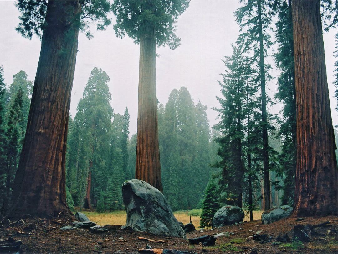
This 2/3 mile (1 km) trail circles Round Meadow. Colorful trailside panels describe sequoia ecology. Start at Giant Forest Museum and follow the paved, accessible trail from there. Parking for people with disability placards is available at the trailhead. Allow 1 hour round trip.
Moro Rock

To reach the top of this granite dome, follow a stairway that climbs 300 feet (.09 km) to the summit. A spectacular view of the Great Western Divide and the western half of the park. The parking area is two miles (3.2 km) from the Generals Highway. In summer, free park shuttles lead to the parking area from Giant Forest Museum. Don't climb if ice or snow are present on the stairs; it is very dangerous.
Tokopah Falls

The trail to Tokopah Falls starts just beyond the Marble Fork Bridge in Lodgepole Campground. It is an easy 1.7 mile (2.7 km) one-way walk along the Marble Fork of the Kaweah River to the impressive granite cliffs and cascading waterfall of Tokopah Canyon. Tokopah Falls is 1,200 feet (365.8 meters) high, and is most impressive in early summer, but be careful around the water!